DGPS - Topographic beach profiles, Reunion island
IR ILICO | SNO Dynalit
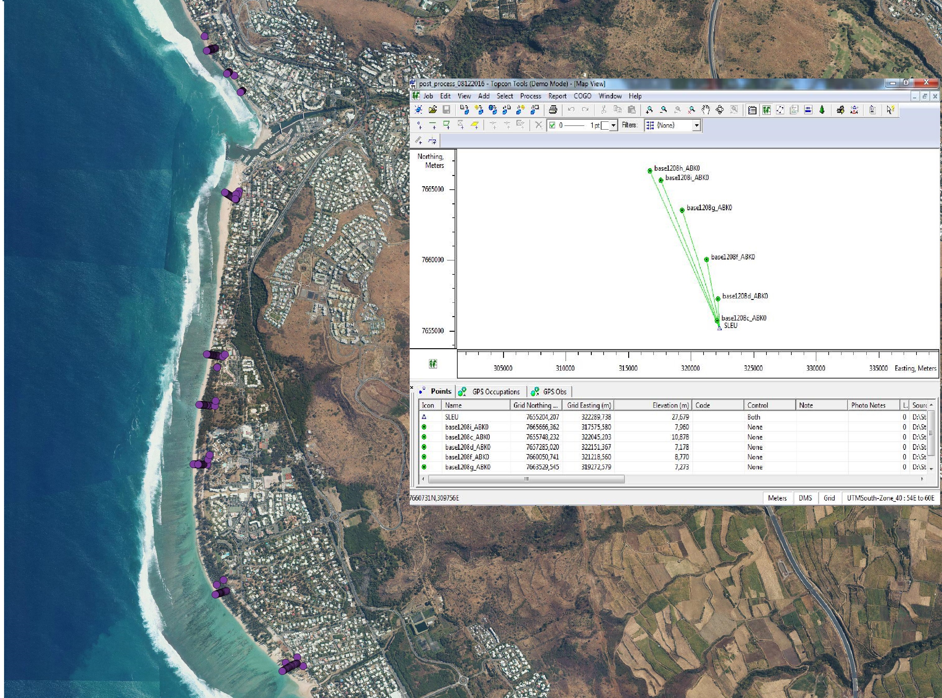
The beach profile is a sectional representation of its topography. The beach topography and its dynamics (by beach profile or transect approach) is illustrated by the acquisition of altimetry data along a fixed profile. 22 profiles are regularly monitored on the reef coast of Reunion Island: 2 profiles per year before the swell seasons of summer and austral winter; the impact of the events of strong swells (cyclones, southern swells) is systematically measured on the labeled Dynalit sites and more sporadically on the other sites. The methodology deployed locally since 2012 involves two Topcon Hiper II receivers (base and mobile) and one Topcon FC-250 controller (field notebook).
creationDec 31, 2011
Temporal CoverageJan 1, 2012
Overview
1 / 2
Lineage
Données brutes DGPS TOPCON, Fichier rinex (enregistrement des signaux satelites), (format standard)
Links
Downloads
- DGPS DGPS corrected by BD ortho®
Geolinks
- No links available
Others
- Link to Original Record [www.dynalit.fr] This metadata comes from www.dynalit.fr
Contacts
Espace-Dev
- gwenaelle.pennober@univ-reunion.fr
- +262 262 29 93 15
Keywords
Constraints
Restricted