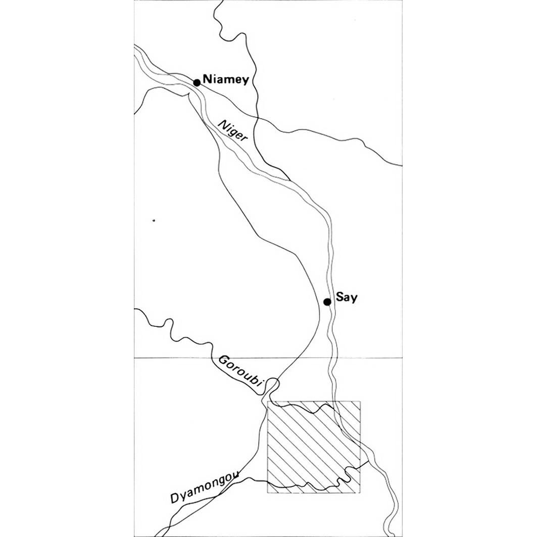
Étude pédologique du plateau de Dyabou (arrondissement de Say). Scale of 1:1 000 000 to 1:50 000. Date of publication: 1978.
IDS IRD
1. Carte de pédologique de reconnaissance du plateau de Dyabou (arrondissement de Say). / Pias, J.; Scale of 1:1 000 000 to 1:50 000. Date of publication: 1978. (files: 02246RC_IRD_NER_PEDO_1978_1000000_IRD_NER_CSRE_1978_1000000-50000.tif, 02246RC_IRD_NER_PEDO_1978_50000_IRD_NER_CSRE_1978_1000000-50000.tif) 2. Carte des aptitudes culturales du plateau de Dyabou (arrondissement de Say). / Pias, J.; Scale of 1:1 000 000 to 1:50 000. Date of publication: 1978. (files: 02247RC_IRD_NER_AGAC_1978_1000000_IRD_NER_CSRE_1978_1000000-50000.tif, 02247RC_IRD_NER_AGAC_1978_50000_IRD_NER_CSRE_1978_1000000-50000.tif)
publicationDec 31, 1977
Temporal CoverageJan 1, 1978Dec 31, 1978
Overview
1 / 6
Lineage
1. Scanning to tif format, 256 colors, 250dpi.
2. Georeferencing and if possible reprojection to WGS84 (Longitude / Latitude).
3. Clipping and mosaicing of map sheets(s).
4. Export ECW format.
5. ECW to GeoTIFF format conversion.
2. Georeferencing and if possible reprojection to WGS84 (Longitude / Latitude).
3. Clipping and mosaicing of map sheets(s).
4. Export ECW format.
5. ECW to GeoTIFF format conversion.
Links
Downloads
- sphaera_ws:02246RC_IRD_NER_PEDO_1978_1000000_IRD_NER_CSRE_1978_1000000-50000 Carte de pédologique de reconnaissance du plateau de Dyabou (arrondissement de Say).
- link
- sphaera_ws:02246RC_IRD_NER_PEDO_1978_50000_IRD_NER_CSRE_1978_1000000-50000 Carte de pédologique de reconnaissance du plateau de Dyabou (arrondissement de Say).
- Télécharger au format GeoTIFF Télécharger au format GeoTIFF
- sphaera_ws:02247RC_IRD_NER_AGAC_1978_1000000_IRD_NER_CSRE_1978_1000000-50000 Carte des aptitudes culturales du plateau de Dyabou (arrondissement de Say).
- Télécharger au format GeoTIFF Télécharger au format GeoTIFF
- sphaera_ws:02247RC_IRD_NER_AGAC_1978_50000_IRD_NER_CSRE_1978_1000000-50000 Carte des aptitudes culturales du plateau de Dyabou (arrondissement de Say).
- Télécharger au format GeoTIFF Télécharger au format GeoTIFF
Geolinks
- sphaera_ws:02246RC_IRD_NER_PEDO_1978_1000000_IRD_NER_CSRE_1978_1000000-50000 Carte de pédologique de reconnaissance du plateau de Dyabou (arrondissement de Say).
- sphaera_ws:02246RC_IRD_NER_PEDO_1978_50000_IRD_NER_CSRE_1978_1000000-50000 Carte de pédologique de reconnaissance du plateau de Dyabou (arrondissement de Say).
- sphaera_ws:02247RC_IRD_NER_AGAC_1978_1000000_IRD_NER_CSRE_1978_1000000-50000 Carte des aptitudes culturales du plateau de Dyabou (arrondissement de Say).
- sphaera_ws:02247RC_IRD_NER_AGAC_1978_50000_IRD_NER_CSRE_1978_1000000-50000 Carte des aptitudes culturales du plateau de Dyabou (arrondissement de Say).
Others
- Notice explicative ou autre ouvrage Document associé à la carte
- Link to Original Record [datasuds-geo.ird.fr] This metadata comes from datasuds-geo.ird.fr
- Notice explicative ou autre ouvrage Document associé à la carte
- Notice explicative ou autre ouvrage Document associé à la carte
- Notice explicative ou autre ouvrage Document associé à la carte
- Digital Object Identifier (DOI)
Keywords
Constraints
licence
Use limitations
Licence : CC-BY-NC-SA