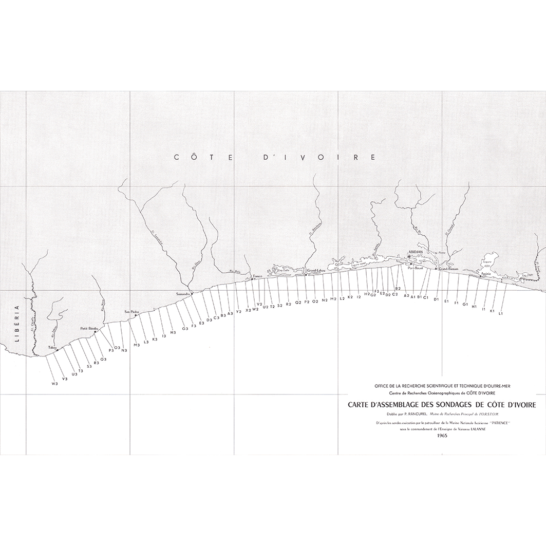
Carte d'assemblage des sondages de Côte d'Ivoire et du Libéria. Scale unknown. Date of publication: 1967.
IDS IRD
1. Carte d'assemblage des sondages de Côte d'Ivoire. / Rancurel, Paul; Scale unknown. Date of publication: 1967. (file: 00727RC_IRD_CIV-LBR_CAAS_1967_----_IRD_CIV-LBR_CAAS_1967_----.tif) 2. Carte d'assemblage des sondages du Libéria. / Rancurel, Paul; Scale unknown. Date of publication: 1967. (file: 00726RC_IRD_CIV-LBR_CAAS_1967_----_IRD_CIV-LBR_CAAS_1967_----.tif)
publicationDec 31, 1966
Temporal CoverageJan 1, 1967Dec 31, 1967
Overview
1 / 4
Lineage
1. Scanning to tif format, 256 colors, 250dpi.
2. Georeferencing and if possible reprojection to WGS84 (Longitude / Latitude).
3. Clipping and mosaicing of map sheets(s).
4. Export ECW format.
5. ECW to GeoTIFF format conversion.
2. Georeferencing and if possible reprojection to WGS84 (Longitude / Latitude).
3. Clipping and mosaicing of map sheets(s).
4. Export ECW format.
5. ECW to GeoTIFF format conversion.
Links
Downloads
- sphaera_ws:00727RC_IRD_CIV-LBR_CAAS_1967_----_IRD_CIV-LBR_CAAS_1967_---- Carte d'assemblage des sondages de Côte d'Ivoire.
- link
- sphaera_ws:00726RC_IRD_CIV-LBR_CAAS_1967_----_IRD_CIV-LBR_CAAS_1967_---- Carte d'assemblage des sondages du Libéria.
- Télécharger au format GeoTIFF Télécharger au format GeoTIFF
Geolinks
- sphaera_ws:00727RC_IRD_CIV-LBR_CAAS_1967_----_IRD_CIV-LBR_CAAS_1967_---- Carte d'assemblage des sondages de Côte d'Ivoire.
- sphaera_ws:00726RC_IRD_CIV-LBR_CAAS_1967_----_IRD_CIV-LBR_CAAS_1967_---- Carte d'assemblage des sondages du Libéria.
Others
- Notice explicative ou autre ouvrage Document associé à la carte
- Link to Original Record [datasuds-geo.ird.fr] This metadata comes from datasuds-geo.ird.fr
- Notice explicative ou autre ouvrage Document associé à la carte
- Digital Object Identifier (DOI)
Keywords
Constraints
licence
Use limitations
Licence : CC-BY-NC-SA