Carte gravimétrique de l'Adrar des Iforas : au nord-est du Mali. Scale of 1:1 000 000. Date of publication: 1979.
IDS IRD
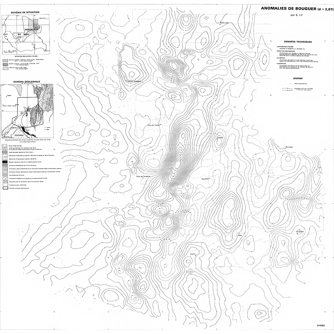
1. Carte gravimétrique de l'Adrar des Iforas : au nord-est du Mali. / Albouy, Y.; Chauvin, M.; Foy, R.; Lachaud, Jean Claude; Lesquer, A.; Ly, Saidou; Scale of 1:1 000 000. Date of publication: 1979. (file: 01660RC_IRD_MLI_GPGR_1979_1000000_IRD_MLI_GPGR_1979_1000000.tif)
publicationDec 31, 1978
Temporal CoverageJan 1, 1979Dec 31, 1979
Overview
1 / 2
Lineage
1. Scanning to tif format, 256 colors, 250dpi.
2. Georeferencing and if possible reprojection to WGS84 (Longitude / Latitude).
3. Clipping and mosaicing of map sheets(s).
4. Export ECW format.
5. ECW to GeoTIFF format conversion.
2. Georeferencing and if possible reprojection to WGS84 (Longitude / Latitude).
3. Clipping and mosaicing of map sheets(s).
4. Export ECW format.
5. ECW to GeoTIFF format conversion.
Links
Downloads
- sphaera_ws:01660RC_IRD_MLI_GPGR_1979_1000000_IRD_MLI_GPGR_1979_1000000 Carte gravimétrique de l'Adrar des Iforas : au nord-est du Mali.
- link
Geolinks
- sphaera_ws:01660RC_IRD_MLI_GPGR_1979_1000000_IRD_MLI_GPGR_1979_1000000 Carte gravimétrique de l'Adrar des Iforas : au nord-est du Mali.
Others
- Notice explicative ou autre ouvrage Document associé à la carte
- Link to Original Record [datasuds-geo.ird.fr] This metadata comes from datasuds-geo.ird.fr
- Digital Object Identifier (DOI)
Keywords
Constraints
licence
Use limitations
Licence : CC-BY-NC-SA