Oro-hydrographie et réseau hydrométrique du Cameroun : d'après Atlas du Cameroun. Scale of 1:2 000 000. Date of publication: 1984.
IDS IRD
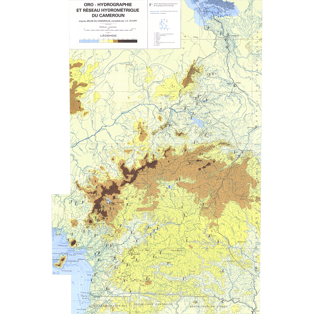
1. Oro - hydrographie et réseau hydrométrique du Cameroun : d'après Atlas du Cameroun. / Olivry, J. C.; Scale of 1:2 000 000. Date of publication: 1984. (file: 03030RC_IRD_CMR_TOOH_1984_2000000_IRD_CMR_TOOH_1984_2000000.tif)
publicationDec 31, 1983
Temporal CoverageJan 1, 1984Dec 31, 1984
Overview
1 / 2
Lineage
1. Scanning to tif format, 256 colors, 250dpi.
2. Georeferencing and if possible reprojection to WGS84 (Longitude / Latitude).
3. Clipping and mosaicing of map sheets(s).
4. Export ECW format.
5. ECW to GeoTIFF format conversion.
2. Georeferencing and if possible reprojection to WGS84 (Longitude / Latitude).
3. Clipping and mosaicing of map sheets(s).
4. Export ECW format.
5. ECW to GeoTIFF format conversion.
Links
Downloads
- sphaera_ws:03030RC_IRD_CMR_TOOH_1984_2000000_IRD_CMR_TOOH_1984_2000000 Oro - hydrographie et réseau hydrométrique du Cameroun : d'après Atlas du Cameroun.
- link
Geolinks
- sphaera_ws:03030RC_IRD_CMR_TOOH_1984_2000000_IRD_CMR_TOOH_1984_2000000 Oro - hydrographie et réseau hydrométrique du Cameroun : d'après Atlas du Cameroun.
Others
- Link to Original Record [datasuds-geo.ird.fr] This metadata comes from datasuds-geo.ird.fr
- Digital Object Identifier (DOI)
Keywords
Constraints
licence
Use limitations
Licence : CC-BY-NC-SA