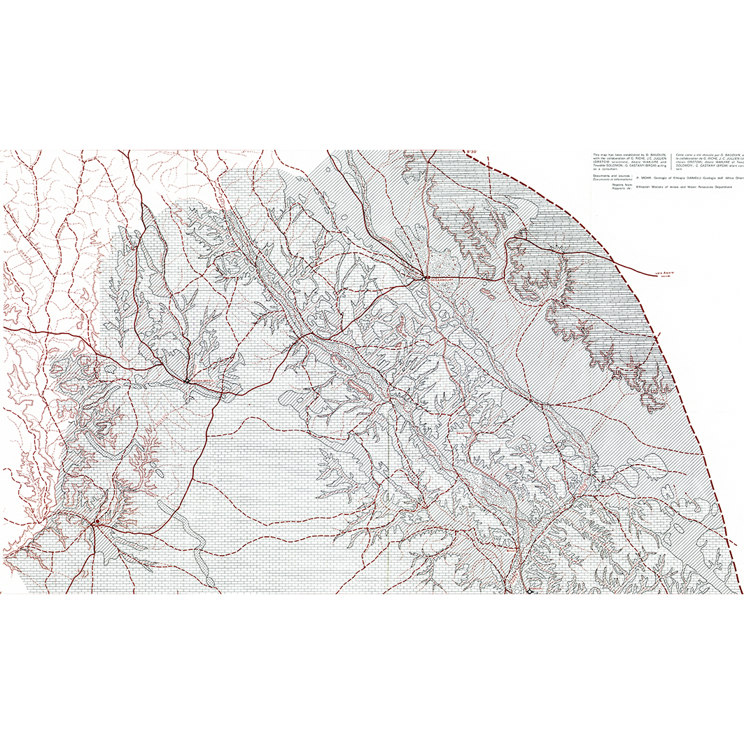
Geological map of Ogaden. Scale of 1:250 000. Date of publication: 1974.
1. IV - Geological map of Ogaden : Degahbour. / Baudin, D.; Jullien, J.C.; Scale of 1:250 000. Date of publication: 1974. (file: 18006RC_IRD_ETH_GEOL_1974_250000_IRD_ETH_GEOL_1974_250000.tif) 2. IV - Geological map of Ogaden : Duhun. / Baudin, D.; Jullien, J.C.; Scale of 1:250 000. Date of publication: 1974. (file: 18007RC_IRD_ETH_GEOL_1974_250000_IRD_ETH_GEOL_1974_250000.tif) 3. IV - Geological map of Ogaden : Gode. / Baudin, D.; Jullien, J.C.; Scale of 1:250 000. Date of publication: 1974. (file: 18010RC_IRD_ETH_GEOL_1974_250000_IRD_ETH_GEOL_1974_250000.tif) 4. IV - Geological map of Ogaden : Godere. / Baudin, D.; Jullien, J.C.; Scale of 1:250 000. Date of publication: 1974. (file: 18011RC_IRD_ETH_GEOL_1974_250000_IRD_ETH_GEOL_1974_250000.tif) 5. IV - Geological map of Ogaden : Imi. / Baudin, D.; Jullien, J.C.; Scale of 1:250 000. Date of publication: 1974. (file: 18009RC_IRD_ETH_GEOL_1974_250000_IRD_ETH_GEOL_1974_250000.tif) 6. IV - Geological map of Ogaden : Kebri-Dahar. / Baudin, D.; Jullien, J.C.; Scale of 1:250 000. Date of publication: 1974. (file: 18008RC_IRD_ETH_GEOL_1974_250000_IRD_ETH_GEOL_1974_250000.tif) 7. IV - Geological map of Ogaden : Mustahil. / Baudin, D.; Jullien, J.C.; Scale of 1:250 000. Date of publication: 1974. (file: 18012RC_IRD_ETH_GEOL_1974_250000_IRD_ETH_GEOL_1974_250000.tif)
Overview
Lineage
2. Georeferencing and if possible reprojection to WGS84 (Longitude / Latitude).
3. Clipping and mosaicing of map sheets(s).
4. Export ECW format.
5. ECW to GeoTIFF format conversion.
Links
Downloads
- sphaera_ws:18006RC_IRD_ETH_GEOL_1974_250000_IRD_ETH_GEOL_1974_250000 IV - Geological map of Ogaden : Degahbour.
- link
- sphaera_ws:18007RC_IRD_ETH_GEOL_1974_250000_IRD_ETH_GEOL_1974_250000 IV - Geological map of Ogaden : Duhun.
- Télécharger au format GeoTIFF Télécharger au format GeoTIFF
- sphaera_ws:18010RC_IRD_ETH_GEOL_1974_250000_IRD_ETH_GEOL_1974_250000 IV - Geological map of Ogaden : Gode.
- Télécharger au format GeoTIFF Télécharger au format GeoTIFF
- sphaera_ws:18011RC_IRD_ETH_GEOL_1974_250000_IRD_ETH_GEOL_1974_250000 IV - Geological map of Ogaden : Godere.
- Télécharger au format GeoTIFF Télécharger au format GeoTIFF
- sphaera_ws:18009RC_IRD_ETH_GEOL_1974_250000_IRD_ETH_GEOL_1974_250000 IV - Geological map of Ogaden : Imi.
- Télécharger au format GeoTIFF Télécharger au format GeoTIFF
- sphaera_ws:18008RC_IRD_ETH_GEOL_1974_250000_IRD_ETH_GEOL_1974_250000 IV - Geological map of Ogaden : Kebri-Dahar.
- Télécharger au format GeoTIFF Télécharger au format GeoTIFF
- sphaera_ws:18012RC_IRD_ETH_GEOL_1974_250000_IRD_ETH_GEOL_1974_250000 IV - Geological map of Ogaden : Mustahil.
- Télécharger au format GeoTIFF Télécharger au format GeoTIFF
Geolinks
- sphaera_ws:18006RC_IRD_ETH_GEOL_1974_250000_IRD_ETH_GEOL_1974_250000 IV - Geological map of Ogaden : Degahbour.
- sphaera_ws:18007RC_IRD_ETH_GEOL_1974_250000_IRD_ETH_GEOL_1974_250000 IV - Geological map of Ogaden : Duhun.
- sphaera_ws:18010RC_IRD_ETH_GEOL_1974_250000_IRD_ETH_GEOL_1974_250000 IV - Geological map of Ogaden : Gode.
- sphaera_ws:18011RC_IRD_ETH_GEOL_1974_250000_IRD_ETH_GEOL_1974_250000 IV - Geological map of Ogaden : Godere.
- sphaera_ws:18009RC_IRD_ETH_GEOL_1974_250000_IRD_ETH_GEOL_1974_250000 IV - Geological map of Ogaden : Imi.
- sphaera_ws:18008RC_IRD_ETH_GEOL_1974_250000_IRD_ETH_GEOL_1974_250000 IV - Geological map of Ogaden : Kebri-Dahar.
- sphaera_ws:18012RC_IRD_ETH_GEOL_1974_250000_IRD_ETH_GEOL_1974_250000 IV - Geological map of Ogaden : Mustahil.
Others
- Link to Original Record [datasuds-geo.ird.fr] This metadata comes from datasuds-geo.ird.fr
- Digital Object Identifier (DOI)